[should be available at way back machine]
It would have been the 1st major addition to monumental Washington, D.C. since the Lincoln and Jefferson Memorials ...
Yet it would be quietly aborted, un-reported by the media and the private "environmentalist" organizations, with the sole building along South Capitol Street saved being the St. Vincent de Paul Roman Catholic Church ... a conflict also un-reported ...

Illustration from N.C.P.C.'s 1997
"Extending the Legacy: Planning

St Vincent de Paul Roman Catholic Church:
monument to the selfishness of the Roman Catholic Church heirarchy
in aborting the South Capitol Mall

located at the north-east quadrant of the intersection with M Street,
and the sole building along South Capitol Street necessarily spared by the abortion of the South Capitol Mall
In the 1990s, the United States National Capital Planning Commission (NCPC) began exploring ideas for
A 1993 article in The Washington Post listed the basic ideas of NCPC's long term thinking to expand upon the cities’ various axis and focal points- e.g. the West and East Capitol axis respectively with the Lincoln Memorial and R.F.K. Stadium -- with attention focused on the axis of
Currently a 6 lane surface street with a 4 lane underpass beneath its crossing with M Street, all within a 130 foot building line to building line right of way,
Although NCPC apparently never gave this Mall a name, it's the concept championed by NCPC.'s 1997 publication, "Extending the Legacy: Planning
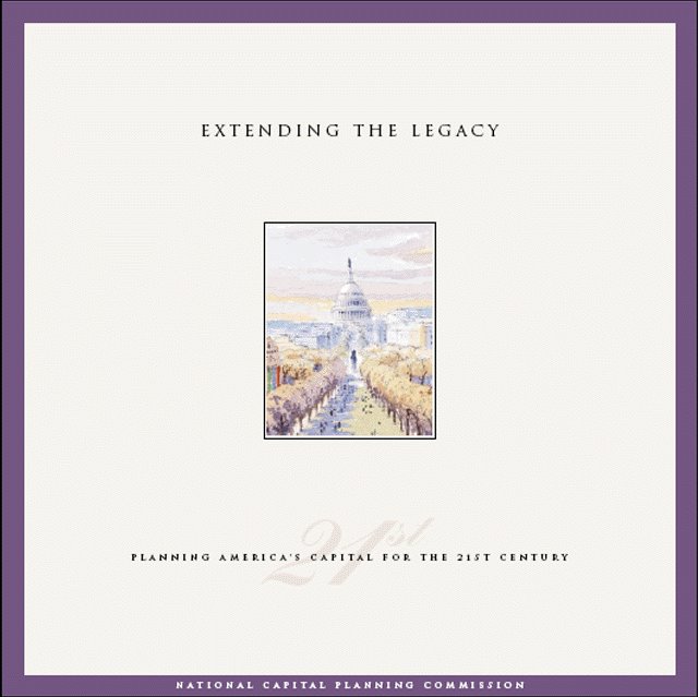 Cover: NCPC's 1997
"Extending the Legacy: Planning America's Capital for the 21st Century"
 South Capitol at Virginia Avenue at site of today's elevated SW/SE Freeway
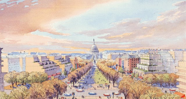
(Time magazine's 1997 report include the above illustration, but none of the illustrations below that clearly show the broad Mall/Promenade)
 South Capitol at M Street
 South Capitol at the Anacostia River
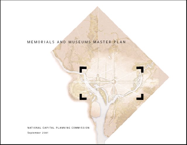 Cover: NCPC 2001 "Memorials and Museums"
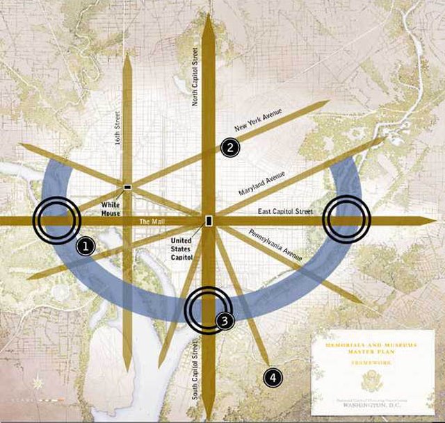 NCPC 2001 "Memorials and Museums"
Conceptual Framework
(think of the Lincoln Memorial and RFK Stadium)
 NCPC 2001 "Memorials and Museums"
"One of several recent concepts for a revitalized South Capitol Street with mixed land uses and new public spaces reaching from the U.S. Capitol to the Anacostia waterfront"
"One of...?!" This would be a hint of things to come...
South Capitol Street Physical Realities


No comments:
Post a Comment