The Side Idea:
What About the future of RFK Stadium?1997: NCPC’s
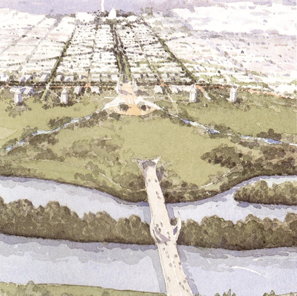
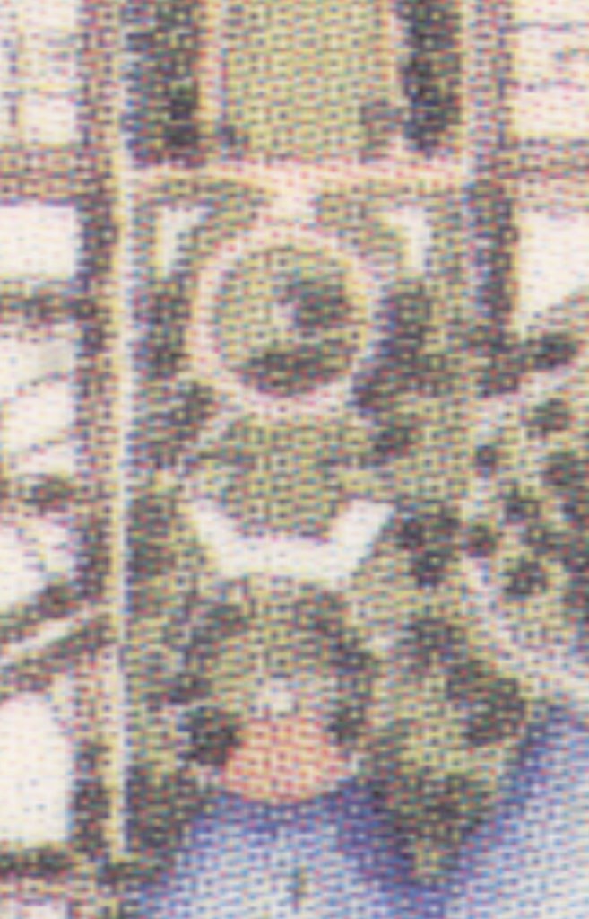
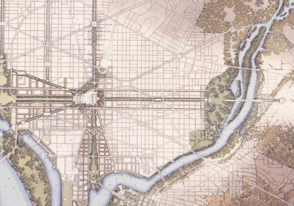
Extending The Legacy replaces RFK Stadium with a “memorial, and an environmental center and housing and commercial development.”
 Illustration: 1997 "Extending the Legacy"
RFK replacementThe illustration features this memorial, with symmetrical waterfallways placed upon the East Capitol axis, surrounded by contiguous parkland created by covering the approach roads to a new signature Bridge.
 Illustration: 1997 "Extending the Legacy"
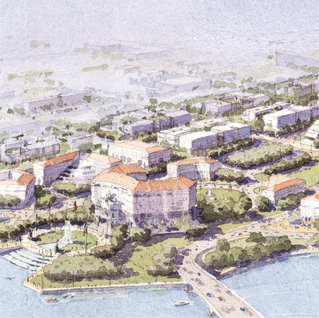
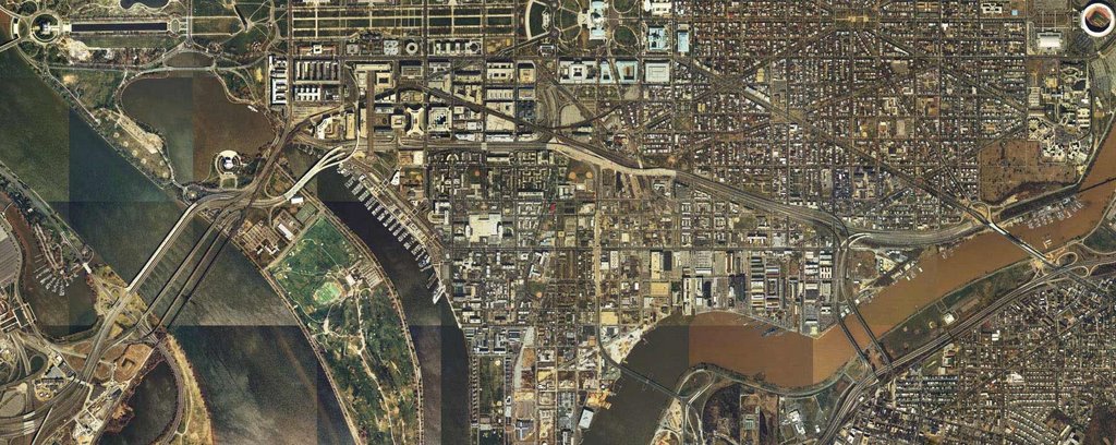
East Capitol GatewayDuring the selection process for the city to host the 2012 Olympics, there was a look at recycling the RFK site.
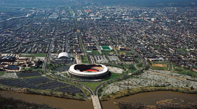
 Illustration: Existing RFK Stadium
http://www.meticulous.com/media/portfolio_img/3d/2012/rfk_plate_crop.jpgThis effort envisioned an Olympic Village with a new array of sports complexes to replace RFK Stadium with a larger stadium that would still be located on the East Capitol axis.
 Illustration: Replacement RFK Stadium/Olympic Village
http://www.meticulous.com/media/portfolio_img/3d/2012/rfk_final.jpg
These images were created by
Meticulous Design Group, a full service firm focusing on film and visual effects, web design and application development, traditional print work, architectural design and visualization, CD and DVD packaging, promotional materials and much more; website at http://www.meticulous.com
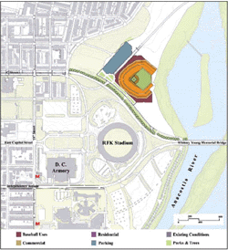
2002: The stadium report that produced the site along the east side of South Capitol Street chosen for the new Nationals Stadium --
"Major League Baseball Park Site Evaluation Project Report" by Brailsford & Dunlavey, Project Management, Sports Facility Planning, Project Finance; Ehrenkrantz Eckstut & Kuhn, Urban Design; Heinlein Schrock Stearns, Sports Architecture; Jair Lynch Companies, Real Estate Consulting; Gorove / Slade Associates, Transportation Planning, dated November 6, 2002 -- included this "RFK" option below.

The 2002 stadium study estimates the
construction costs at $273.3 million with estimated "soft costs" of about $69 million, with a total cost of $342.3 million. By placing the new stadium to the north of RFK stadium, this option hereby abandons the symetricity of the existing RFK stadium site (and of L’Enfant/McMillan Commision style planning), apparantly for the sake of building luxury skyboxes during the off-season period.
2005: The Washington Nationals baseball team played its first game of its first season in 2005 that April 14 in an RFK Stadium just renovated at a cost of
$14 million (Wilkpedia), (loosing 8-4 to the Philadelphia Phillies). The Nationals plan on using RFK Stadium only through its 2006 and 2007 seasons, before transferring to the team’s new stadium (
$610+ million) against the east side of South Capitol Street in 2008.
2006: The Washington National's new owner, Theodore Lerner, would announce a host of improvements to be made for RFK Stadium. As reported by
Ballpark DigestFrom the time the Nationals began playing at RFK Stadium in April 2005, fans have complained about long lines, poor service, limited food choices, dusty hallways and a garbled sound system. Stan Kasten, who will take over as team president once the sale is finalized in late June or early July, said the new ownership group will seek to make modest improvements (i.e., spend the money MLB refused to spend) and unveil them when the Chicago Cubs come to Washington for a three-game series after the all-star break.
http://www.ballparkdigest.com/news/2006archives/may14_20_2006.htm
As noted in the blog "Capitol Punishment"
"RFK renovations were initially supposed to cost $13 million, but that’s already shot up to $18.5 million because of ‘overtime’ costs. $5.5 million in overtime?"... 42% over budget and we’re barely two months into the process. Great.
http://dcbb.blogspot.com/2005_01_01_dcbb_archive.html
http://www.ballparks.com/baseball/american/rfksta.htm
h
ttp://www.ballparkwatch.com/visits/rfk.htm
 Illustration: RFK Stadium