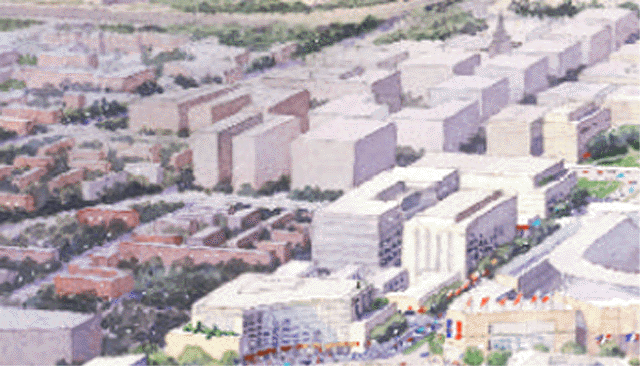
Illustration: crop of NCPC March 2005 rendering showing new buildings west of South Capitol Street to east side of Half Street, immediately next to residential neighborhoods further west.
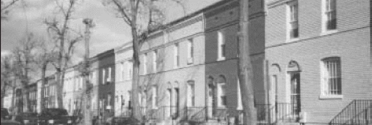 Illustration: Residential dwellings along Carrollsburg Place SW, south of M Street.
http://www.swdc.org/news/Southwester_JAN_2004.pdf
Also, see: http://www.swdc.org/news/Southwester_MAY_2006.pdf
According to the November 2003 Urban Land Institute “An Advisory Services Panel Report: South Capitol Street Corridor , Washington , D.C. Implementation Plan”
http://www.ncpc.gov/publications_press/s_cap/SCapitolStReport.pdf
This challenging area, currently home to a large concentration (907 units) of public housing and a high percentage of the 60 public housing projects located in or near the study area, also includes industrial uses and warehouses of low value. Market pressure on the Southwest waterfront is encouraging the development of more middle-income residential neighborhoods near the water; while more distant properties, located closer to the intersection with South Capitol Street, remain the domain of public housing. No successful redevelopment of the District's Southwest can be accomplished while ignoring the incompatibility of this use with the desired future market.The text does not state any western limit of this new redevelopment in SW.
Current residents of this housing stock must be offered incentives to relocate over time in mixed-income housing developments such as the Capper-Carrollsburg HOPE VI project on M Street, east of South Capitol Street. This can and should be accomplished with no net loss of public housing units, while increasing affordable housing choices for low-income residents. Capper-Carrollsburg will incorporate residential and street-level retail, with densities highest along South Capitol Street, and decreasing as development moves in a westerly direction. Re-densification of the area between R and M Streets can accommodate a far greater range of income demographics then is present today, providing a residential environment that supports the overall development of So Cap.
The SoCap area is presented with the unique opportunity to provide a wide range of residential opportunities, from mixed-income to the highest priced, high density living. SoCap has the potential to become a seamless neighborhood, free of the barriers of race and income that now defines it. Inclusionary zoning, tax benefits, and small business initiatives will encourage the provision of street-level retail throughout the area. Future mixed-use, high income residential properties lining South Capitol Street cannot be allowed to become canyon walls between the communities of SoCap and the boulevard.
Providing living opportunities within walking or light rail distance of office and retail/entertainment will be increasingly important to those who wish to enjoy an urban lifestyle. Office uses in SoCap’s southeast quadrant will generally be confined to the corridor along South Capitol Street and perhaps along M Street and the Anacostia River. However, the predominant uses in this quadrant will be residential and convenience retail, and potential institutional uses such as education. (pp 15-16)
But do be sure to check out the illustration at the lower left of page 16: "Market potential in sub areas" .
For it shows a great much of SW as "Available for Development".


No comments:
Post a Comment